Geoscientists are planning use satellite imagery to access accurate information on specific farms and analyse it in a bid to help Uganda farmers attain better yields by solving climate change challenges the growers are faced with.
This was revealed during a sensitization meeting organized by Association for Strengthening Agricultural Research in Eastern and Central Africa (ASARECA) where the scientists were being trained in analysing information on digital earth website.
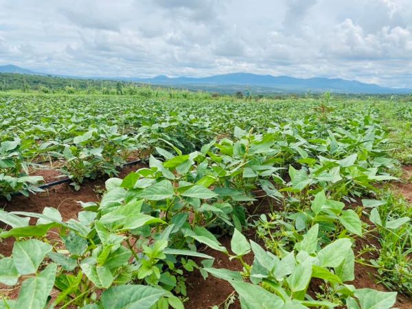
According to Joshua Okonya, the programme officer for technology and innovations at ASARECA, his team is building capacity of routine users of earth observation data which will help them access information about plant health on farmer fields including water density of water bodies which can be used by farmers in irrigating their farms.
“Our aim is that, once the scientists absorb the gist of the technology, they can give advisory information to famers especially about the weather forecast,” said Okonya.
He added that using the satellite imagery the experts are able to analyse soil texture and advice farmers accordingly which soil in a specific farm requires boosting with fertiliser and manure to acquire better yields.
Accessing the satellite information
Joseph Tuyishimire, user engagement manager at Digital Earth Africa explains that information can be accessed on the digital earth satellite through several notebooks where information is stored.
This info, said Tuyishimire, can then be stored inform of maps where scientists can analyse plant health, water density, data on soil fertility including farming in wetlands among others.
Once a scientist logs to the website and identifies a specific notebook of interest, they can get a map that is capable of analysing the vegetation of a specific farm.
Creation of the notebook
This technology is implemented under a one year project where scientists secured a server with 24 hour enabled internet connectivity to host the regional mapping centre in Pretoria, South Africa.
This is done in collaboration with agriculture scientists from Australian Centre for International Agriculture and Research who have been using the technology to help their farmers in solving climate change related challenges.
It is the duty of scientists at Digital Earth Africa to create the various notebooks with all the information which is uploaded in the data base called Sand box.
There is a code developed for scientists to access a particular data set which will process the required information.
Experts have to register in order to access the information required. This is for purposes of the programmers to know how many people can be accommodated and the access to information is free of charge.
It is a technology which requires use of internet meaning experts have to be online in order to access the information required.
The notebook generally provides data on a number of farm needs such as plant health, water density and plant vegetation among others.


