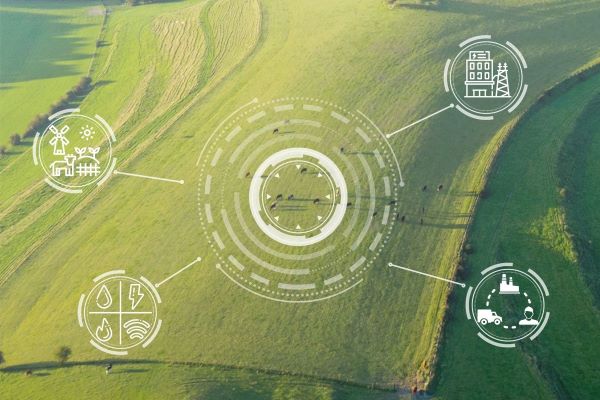
On the fourth day of the EIMA International exhibition of agricultural machinery the Italian Confederation of Farmers (CIA) demonstrated the advantages offered by new satellite monitoring systems along with the issues that still need to be resolved in order to make the most of these innovative technologies.
“The short-term goal is to make reconstructed images of a farmer’s situation available on a monthly basis in his company’s file”, said Domenico D’Amato, head of the CAA of the Italian Confederation of Farmers (CIA), during the meeting organized by the agricultural association on the topic of satellite monitoring in support of the CAP. “We are not there yet, but the progress is evident. We have moved from only aerial photo surveys to monitoring with two Sentinel satellites that photograph every portion of Italy’s land surface from above every five days. The integration of the two systems using artificial intelligence – D’Amato stated – allows for much greater accuracy and timeliness than we were used to previously. And it has led to the creation of the Soil Map within Agea, a particularly useful tool in CAP compliance and more generally for management of the enterprise company”.
Satellite images from Sentinel are supplied in their raw state, that is in RGB bands and with a resolution of 10 meters, but the AMS control system ensures that the image is reprocessed and brought to a much higher resolution (2.5 meters). The result of these operations is the soil map which, as Agea recently mentioned, is the fundamental tool for land management and planning. Its introduction has led to changes in the criteria for submitting applications for aid and support in the agricultural sector. This strategy is strongly aimed at avoiding financial adjustments by the European Union that would have a heavy impact on the state budget. Agea has implemented the technical system to support the submission of applications through the construction of the company file, by means of a procedure shared with farmers’ organizations.
“Of course the first months of application had some problems, with a decidedly high number of requests for review. But there is no doubt that, despite the delays still in place – D’Amato remarked – satellite monitoring and soil maps allow for more accurate planning, systematic control of agricultural reality and, progressively, increase the value of the company file”.
“For example, it was discovered that in Italy there are 300,000 hectares of arable land that – D’Amato concluded – are not performing. That is, they do not submit any type of CAP application. This is a significant number that should be investigated”.


