

A developing El Niño event could intensify into one of the strongest ever observed, raising the risk of floods, droughts, extreme heat and other disruptive weather across the world, the United Nations has warned.
The World Meteorological Organization (WMO), the UN’s weather and climate agency, said the naturally occurring climate pattern is expected to strengthen to a “very strong” event towards the end of 2026 and is almost certain to continue through February 2027.
WMO Secretary-General Celeste Saulo said the event could eventually exceed the strength of anything recorded during the organisation’s roughly four decades of monitoring.
The warning, highlighted in the latest UN News report, comes as unusually warm waters spread across the tropical Pacific. According to the WMO, sea-surface temperature anomalies in the central and eastern equatorial Pacific rose from about 1.5°C above average between May and July to weekly readings of roughly 2.2°C to 2.6°C above average in late July and mid-August. In some areas, temperatures below the ocean surface were more than 8°C above normal
The scale of the warming has prompted growing concern among climate scientists and weather agencies. DW’s report on the “supersized” El Niño similarly describes the event as potentially exceptional, while the BBC report has highlighted the possibility of major consequences as the phenomenon strengthens.
El Niño occurs when unusually warm surface waters develop across the central and eastern tropical Pacific, altering atmospheric circulation and influencing weather patterns thousands of kilometres away. Its effects vary from region to region, but strong events can increase rainfall and flooding in some areas while producing drought and heat in others.
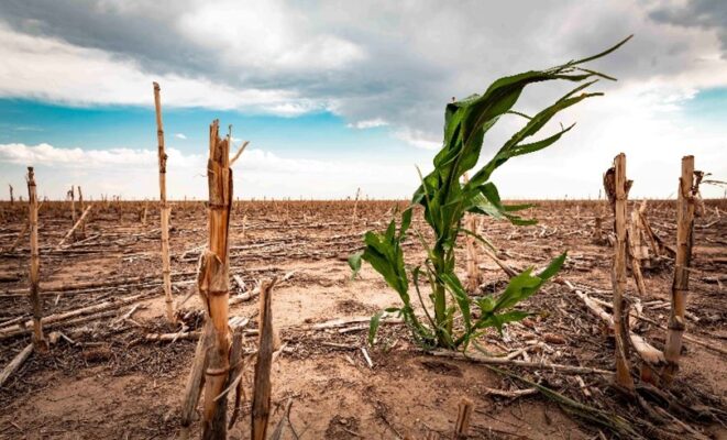
The WMO expects above-normal temperatures across almost all land areas during September-November, alongside significant changes in rainfall patterns. Historically, El Niño has been associated with drought in parts of the Amazon, Indonesia and Australia, disrupted monsoons in India and altered rainfall across the tropics. Eastern Africa is among the regions that can experience wetter-than-normal conditions, potentially increasing flood risks.
For Kenya and other countries in the region, the warning is particularly significant because extreme rainfall can quickly expose weaknesses in drainage, roads, housing and other infrastructure. Agriculture, water supplies, health services and energy systems are also vulnerable to sudden shifts in weather patterns.
The WMO has urged disaster-management authorities and climate-sensitive sectors to prepare ahead of the event’s peak. Saulo warned that the developing El Niño could deliver a “massive blow” to communities and economies, with existing drought and flood impacts expected to intensify.
At the same time, scientists stress that El Niño itself is not caused by climate change. However, its warming effect is occurring on top of a planet already heated by human-generated greenhouse-gas emissions, potentially making the resulting temperature extremes more severe. The powerful 2023-24 El Niño contributed to 2024 becoming the warmest year on record, and the WMO says another global temperature record could be possible as the current event develops.
The warning also comes against the backdrop of a new UN Environment Programme report cautioning that the world is on course to exceed the 1.5°C warming threshold, underscoring the growing interaction between natural climate variability and long-term human-driven warming.
UN Secretary-General António Guterres has described the situation as a “danger zone of extreme weather”. With the El Niño expected to peak late this year and its effects potentially extending well into 2027, governments are being urged to use forecasts and early-warning systems to prepare communities before the most severe impacts arrive.